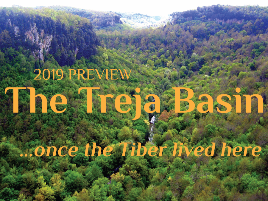
Here’s a sneak preview of next spring’s walking trip in the beautiful Treja River Basin 25 miles north of Rome. Trips are custom-designed for four to six guests; dates are flexible. More details in the next newsletter – meanwhile you can write to me with questions.
More trip ideas at romanroadwalks.com and:
• Newsletter 31
• Newsletter 29
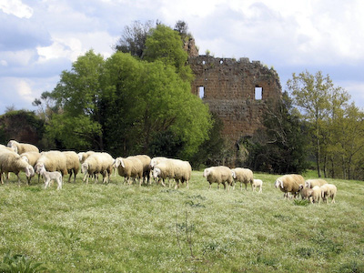
Castel d’Ischia
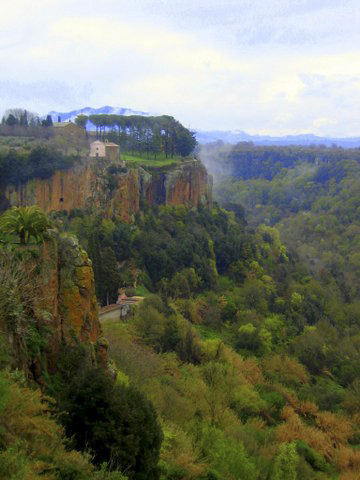
More volcanoes shot up to the west, cradling the Treja in a wide basin. New streams began cutting gorges, and soon tall promontories stood between them. Having good natural defenses, many of these were destined to become human settlements.
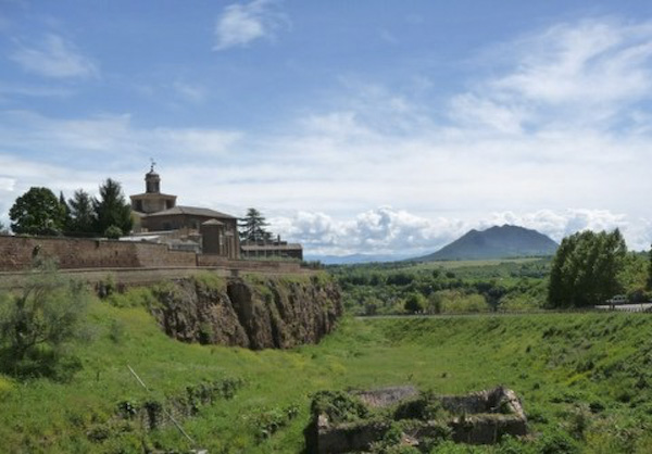
Santa Maria ad Rupes
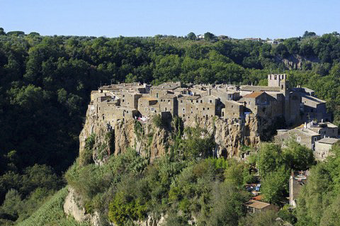
Calcata
Civita Castellana
In the eighth century BCE, the culturally advanced Faliscans established their chief stronghold on the largest promontory, today’s Civita Castellana. Through contact with the Etruscans and Greeks they developed a written language, sophisticated technology and graceful art. Like the Etruscans they cut roads and water tunnels in the soft bedrock. And tombs: warriors were buried with their armor, chariot harnesses and ritual drinking cups.
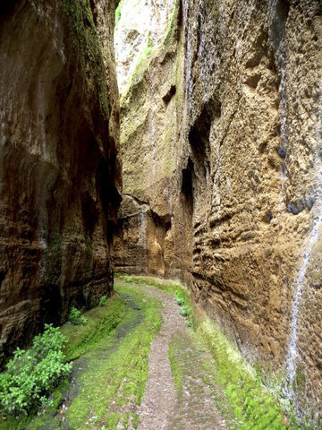
Faliscan road cut
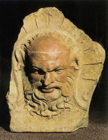
Head of Silenus
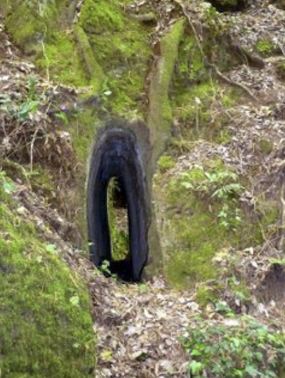
Water tunnel
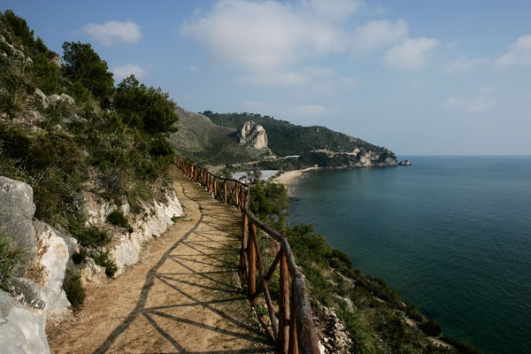
The Faliscans spoke a dialect of Latin, but were destined to become bitter enemies of their Roman cousins. Together with the Etruscans they resisted Roman expansion for centuries, but eventually succumbed. The Romans destroyed their capital in the third century BCE and built the Via Amerina though the region. This ancient road still has paving, bridges and fascinating tombs – not to mention gorgeous scenery.
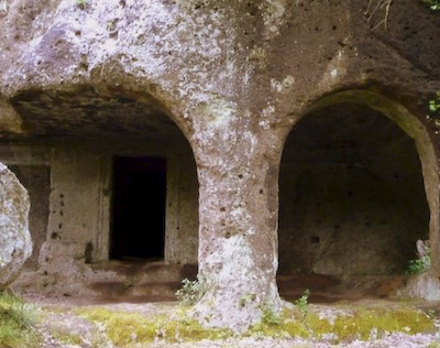
Tombs, via Amerina
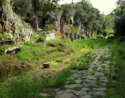
Via Amerina
In the long, chaotic medieval period, the Via Amerina was perhaps the only secure link between Rome and the north. Watch towers and castles like Castel d’Ischia were built for protection, and monasteries like Santa Maria ad Rupes sprang up: small, self-sufficient communities where agriculture and crafts were practiced and ancient manuscripts were preserved and studied. Over time, powerful families began competing with one another to build beautiful churches. In a foreshadowing of the Renaissance, art and culture began to stir.
Stay tuned – more details in the summer newsletter
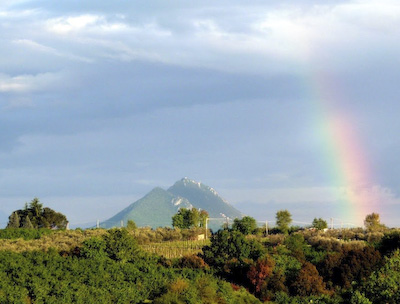
View of Mt. Soracte from Via Amerina
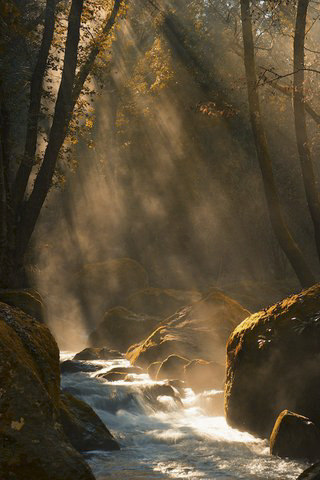
Treja River
More trips
All trips are custom designed for four to six guests, and there are many options. Learn more at www.romanroadwalks.com or write to me.
To subscribe to the Roman Road Walks mailing list, click here
To unsubscribe, click here and put “unsubscribe” in the Comments box.